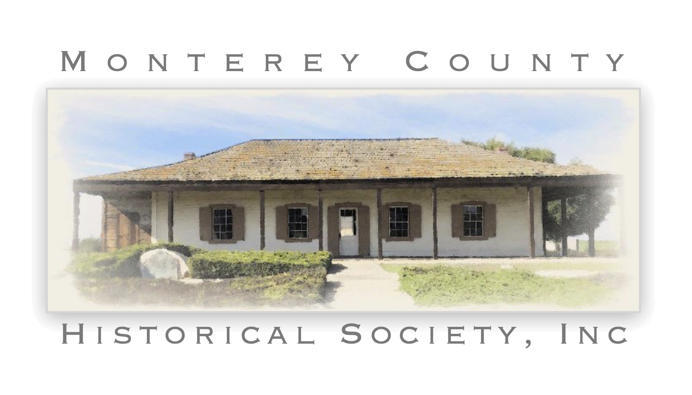
A grant of two leagues appears to have been made in 1823 to Agustín Soberanes–at least he was living on the rancho, located in the area of present-day Salinas, in that year.
The rancho is bounded on the north by Rancho La Natividad, on the northeast by Rancho Ciénega del Gabilan, on the southeast by Rancho El Alisal, on the southwest by Rancho Llano de Buena Vista, Rancho Nacional, and the Salinas River, and on the west by Rancho Rincón del Sanjón, and on the northwest by Rancho Los Gatos or Santa Rita.
According to one source, this area was used in 1828 by Manuel Butrón and Nicolás Alviso for cattle grazing. Another source places Martín Olivera and his family in the area.
Prior to 1827, José Tiburcio Castro was reported to be living on Rancho Sausal (Spanish for willow grove), and on August 2, 1834 the rancho was granted to him. By that hear he had completed four houses and various enclosures, cultivated a number of acres, and had 200 head of cattle, a few sheep and quite a few horses.
Castro was quite familiar with the area. His father, Macario, was sergeant in charge of Rancho del Rey, in the same general area, and had six soldiers under his command there as early as 1798. After José Tiburcio’s death in 1840, his son José Antonio Castro expanded the rancho by an additional square league, but sold the land to Jacob P. Leese in 1852 for $600. Leese claimed 10,242 acres, and it was patented to him in 1859. Leese built a prefabricated house on the rancho–the two-story building was first built in Massachusetts, shipped around the Horn, set up in Peru, and then torn down and shipped to the rancho.
Sources:
- Breschini, Gary S., Trudy Haversat, and Mona Gudgel, 10,000 Years on the Salinas Plain: An Illustrated History of Salinas City, California (Heritage Media Corp., Carlsbad, 2000).
- Clark, Donald T., Monterey County Place Names (Kestrel Press, Carmel Valley, 1991).


