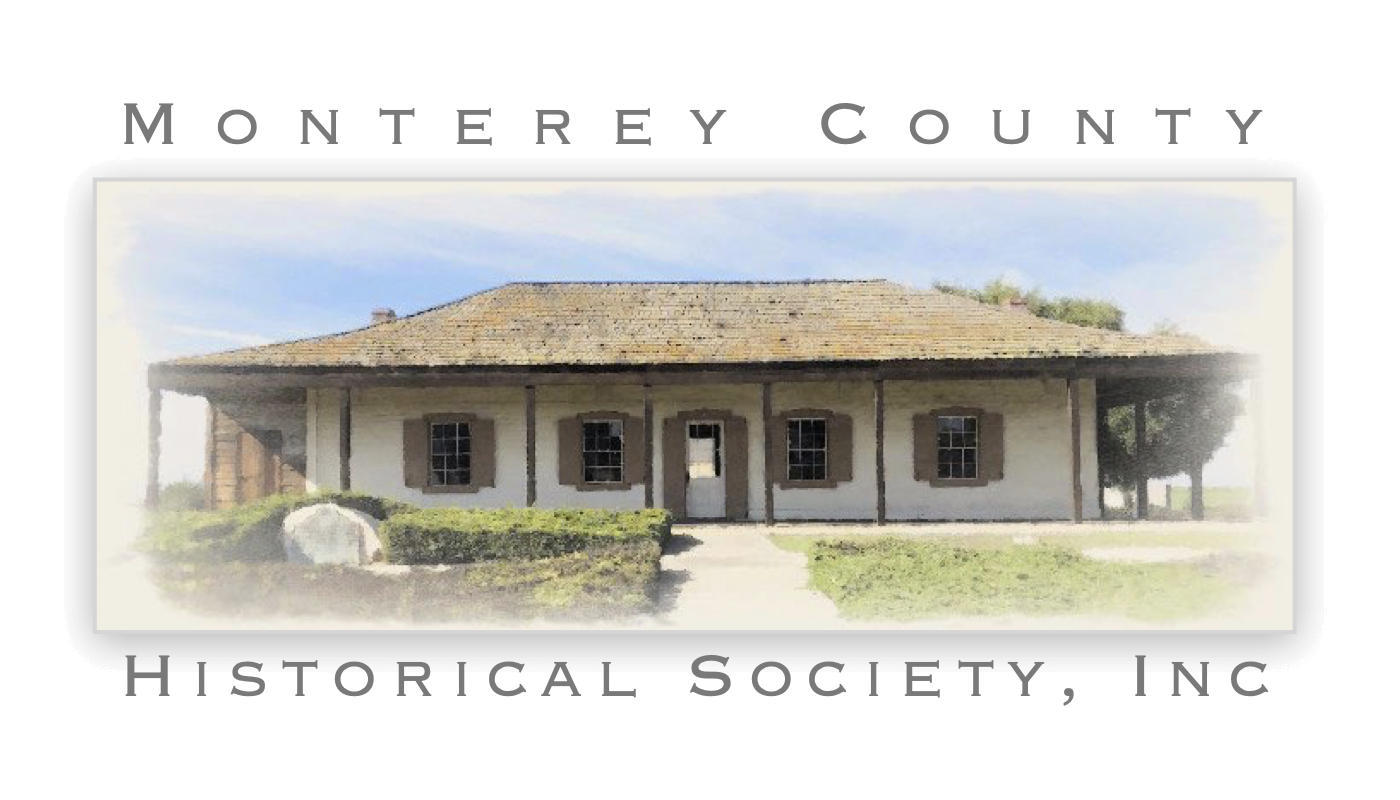
At one time during California’s Mexican era the Monterey Custom House presided over Mexico’s only port of entry on the Alta California coast. It was here that Commodore John Drake Sloat raised the American flag on July 7, 1846, claiming over 600,000 square miles of territory for the United States. The Custom House is California’s first registered State Historic Landmark, and is the oldest public building on the west coast. Map.
The building was in existence by 1827, but deteriorated and was replaced by a larger structure in 1841. The construction was done by Thomas O. Larkin. Larkin also did grading and leveling.
A tongue of land to the north of the Custom House was used by Larkin as the approach to a wharf of rock-filled cribwork (see sketch). This was completed in 1846. No major additions were made to the Custom House after 1846. The building was restored in the early 1900s by the Native Sons of the Golden West, and has been placed on the National Register of Historic Places. The building is now a part of Monterey State Historic Park.

The beach was once much closer to the building. A pre-1879 photograph shows the edge of the building’s portico was propped up in several spots with stones. An 1879 map of the area and an 1886 photograph of the Custom House both show a narrow sandy beach with a rocky edge extending virtually to the building’s portico.
In 1889 the railroad was extended from Monterey to Pacific Grove, and this beach area was filled. There were few small structures in this area, and they had to be removed for the railroad placement. The small creek inlet and beach to the north of the Custom House and the wharf also were filled (see sketch). This was the site of the “Old Cross” where Monterey was founded on June 3, 1770.
It has long been surmised that some building must have stood in the area prior to construction of the Custom House in 1827, as the port was a busy one and this was the prime landing site. The Sykes drawing from the 1792 Vancouver expedition shows a building in this area, and archaeological investigations in 1991 revealed foundations and a silt floor from an earlier structure immediately the south of the existing Custom House.
Location: Custom House Plaza, base of Fishermans Wharf
Sources:
- Breschini, G.S. and T. Haversat, Archaeological Excavations at CA-MNT-108, at Fishermans Wharf, Monterey, Monterey County, California (Coyote Press Archives of California Prehistory No. 29, Coyote Press, Salinas, CA, 1989).
- Breschini, G.S. and T. Haversat, Archaeological Investigations for the Custom House Plaza Project, Monterey, Monterey County, California (Ms. on file, Archaeological Consulting, Salinas, CA, 1993).


